|
<%if intNum = 0 then%>
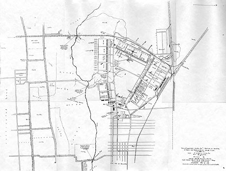
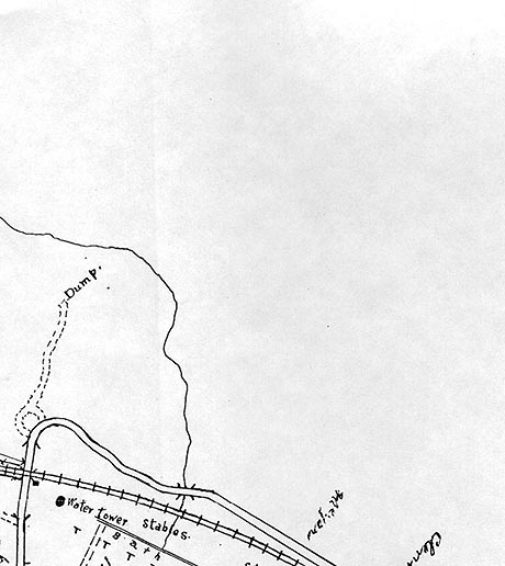
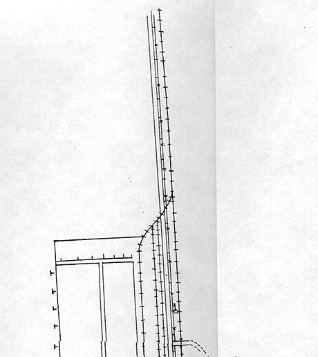
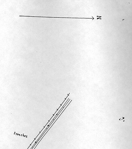
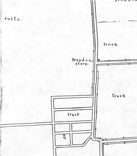
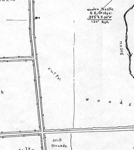
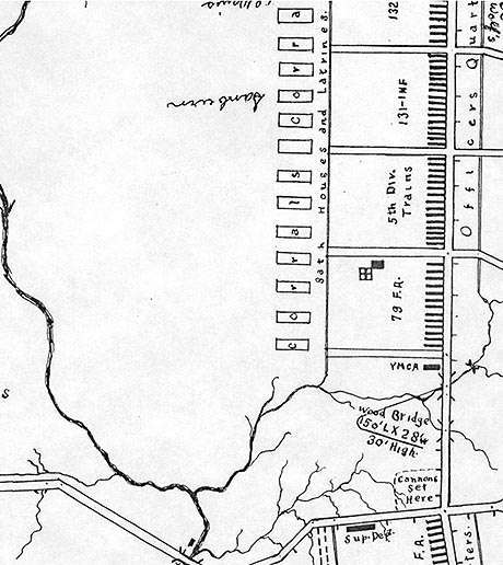
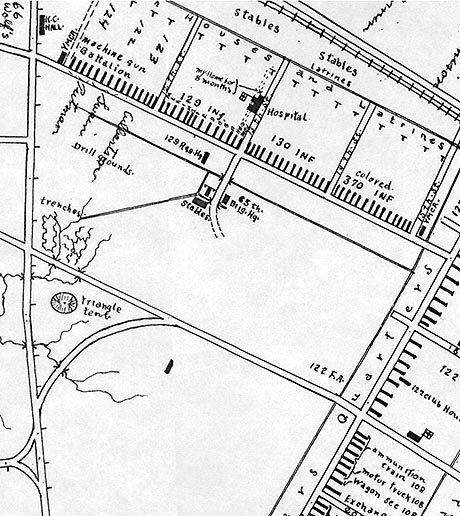
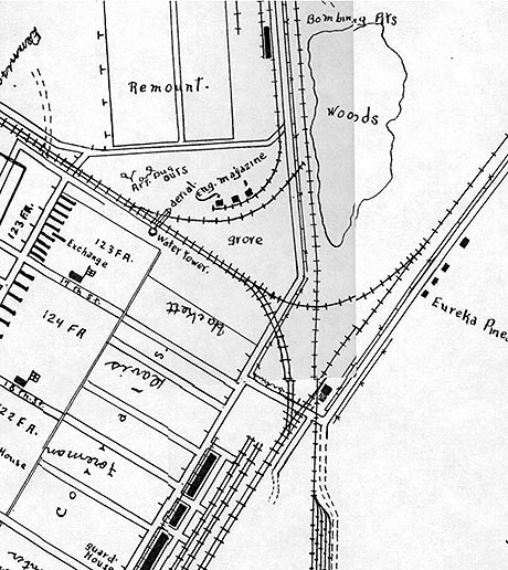
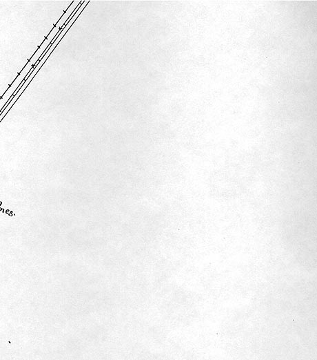
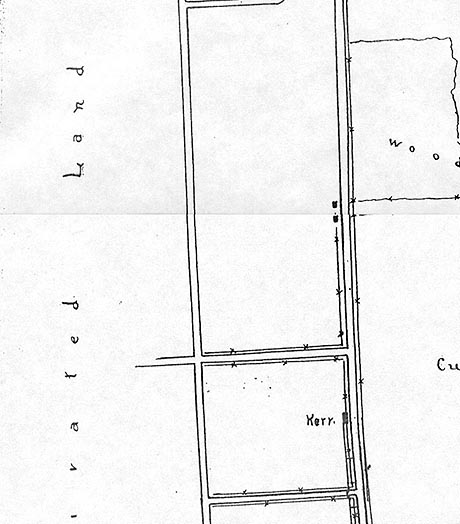
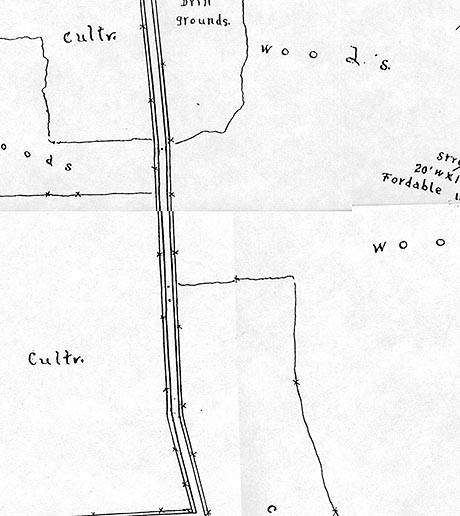
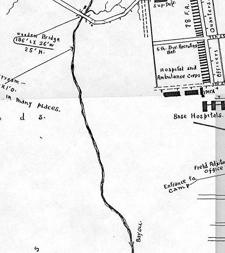
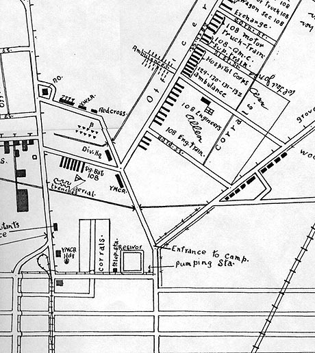
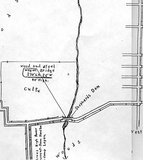
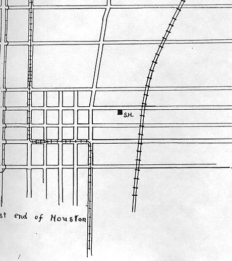
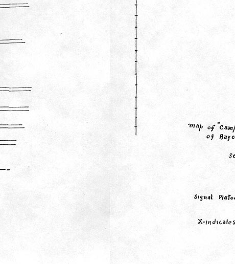
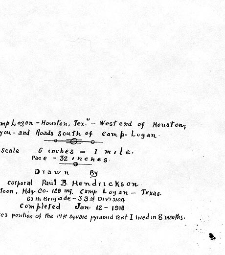
Map of Camp Logan, Houston
This map was drawn by Paul B Hendrickson and completed on January 12, 1918. It measures 29 inches wide by 22 inches high.
In his record of events concerning his service in World War I, he wrote that he "continued map drawing, completing a large and deailed map of Camp Logan and surrounding territory."
Paul also wrote about drawing map in a letter to Cecil Rife dated December 23, 1917.
He marked the location of his tent in quadrant 10.
<%elseif intNum = 1 then%>
 <%elseif intNum = 2 then%>
 <%elseif intNum = 3 then%>
 <%elseif intNum = 4 then%>
 <%elseif intNum = 5 then%>
 <%elseif intNum = 6 then%>
 <%elseif intNum = 7 then%>
 <%elseif intNum = 8 then%>
 <%elseif intNum = 9 then%>
 <%elseif intNum = 10 then%>
 <%elseif intNum = 11 then%>
 <%elseif intNum = 12 then%>
 <%elseif intNum = 13 then%>
 <%elseif intNum = 14 then%>
 <%elseif intNum = 15 then%>
 <%elseif intNum = 16 then%>
 <%elseif intNum = 17 then%>
 <%elseif intNum = 19 then%>
 <%elseif intNum = 20 then%>
 <%elseif intNum = 21 then%>
 <%elseif intNum = 22 then%>
 <%elseif intNum = 23 then%>
 <%else%>
 <%end if%>
|
|
<%if intNum > 0 then%> Full map
<%end if%>
Click area on map left or quadrant number in grid above for larger view
|